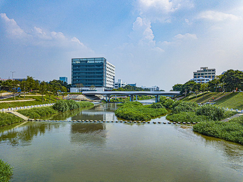
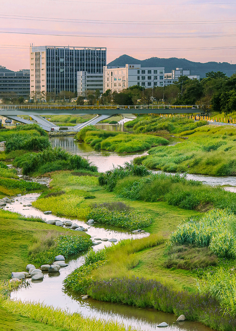

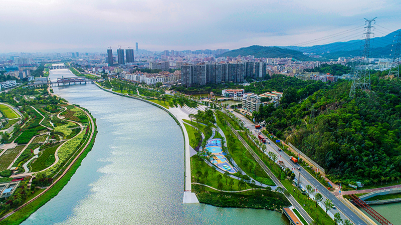
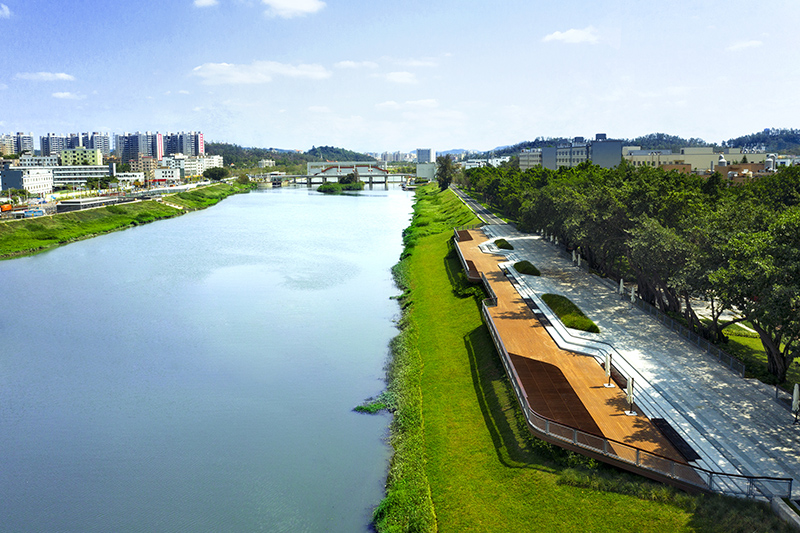
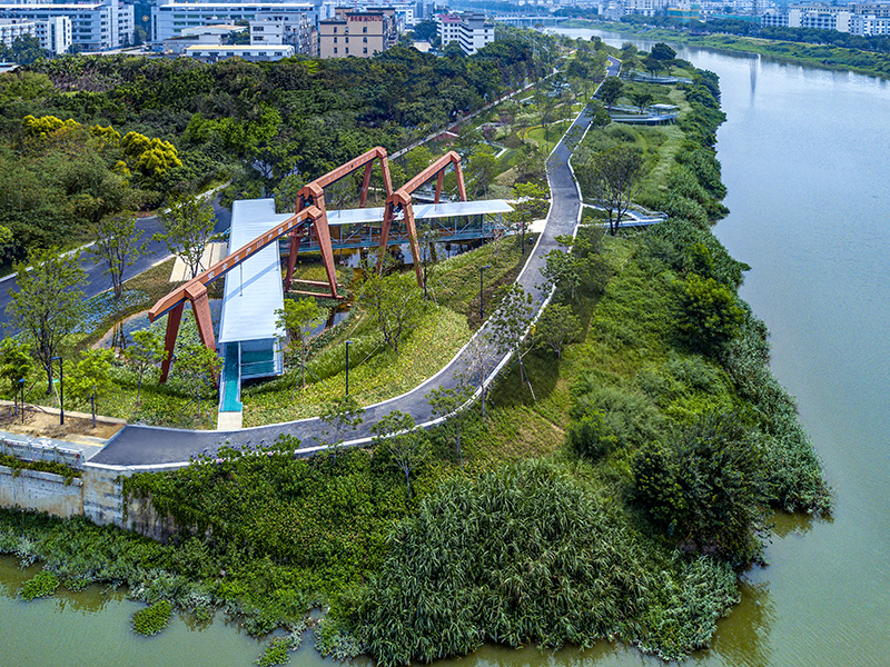
As the “mother river” of Shenzhen, Maozhou River has witnessed the historical legend of Shenzhen's rapid rise from a small border town to an international metropolis with global influence. In the past 30 years, urban villages and small factories had gathered on both sides of the Maozhou River. Sewage from domestic production had been discharged directly into the river. The river had rapidly deteriorated from the source of drinking water for villagers to a black and smelly river, which was avoided by citizens. At the end of 2015, Shenzhen launched a major campaign to prevent and control water pollution. After four years, the water quality of the Maozhou River finally reached the V standard for surface water, completely eliminating black and odorous water. At the end of 2019, the Shenzhen government creatively proposed the vision of "quality river, quality river sides", in response to the call of “Wanli Bidao” in Guangdong Province. TJAD participated in the planning and implementation of the pilot section of Bidao on Maozhou River.
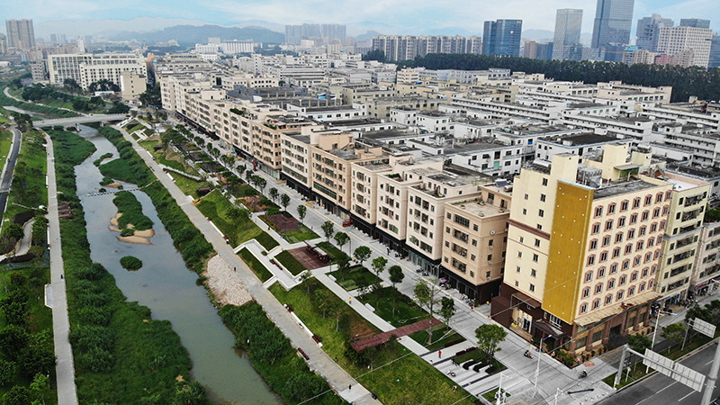
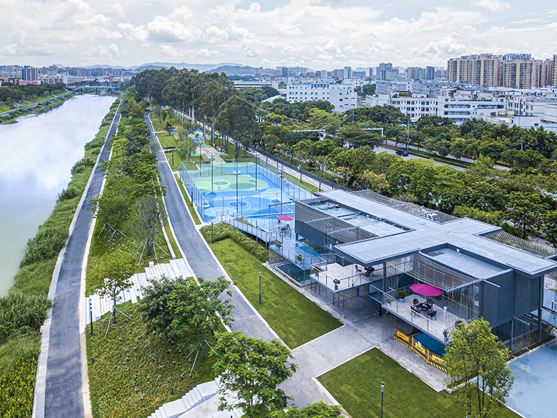
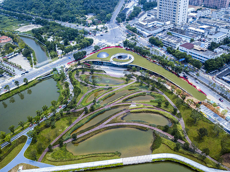
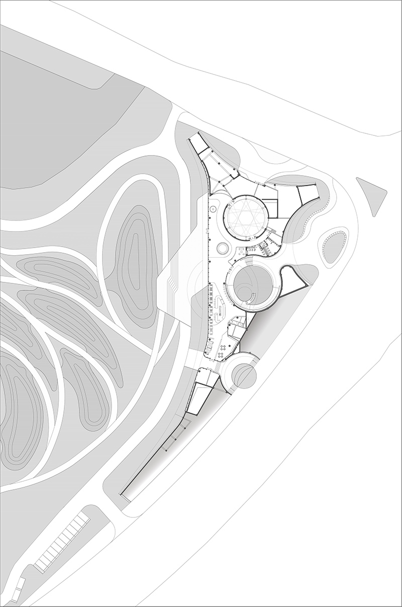
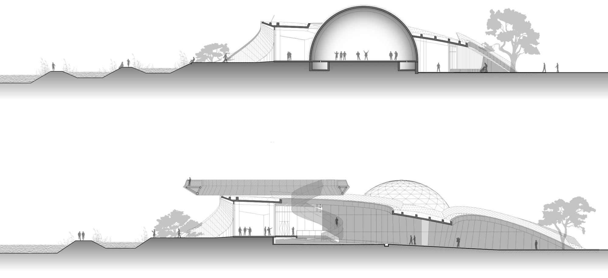
The pilot section is about 12.9 km long (Bao' an section is about 6.1 km long; Guangming section is about 6.8 kilometers long), the overall planning area is about 15.5 square kilometers. The idea of design is that based on the road network and the status quo of spatial structure, using water as the main line. Through the regional ecological environment optimization, the composite space utilization, the improved industrial structure and urban function transformation, the construct a set of "flood discharge channel, ecological corridors, leisure ', cultural trains, industrial chain", which integrates the high quality of waterfront space, as the model of shared governance of “water, industry and city”.
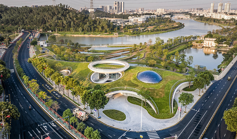
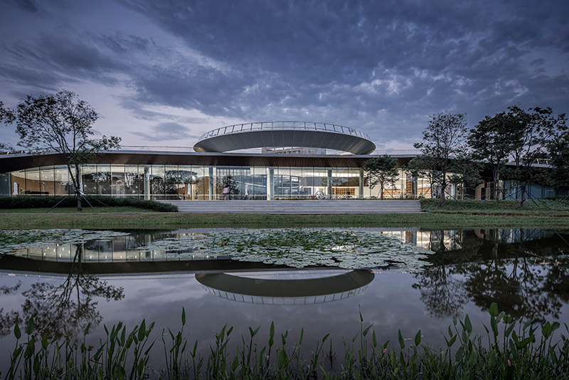
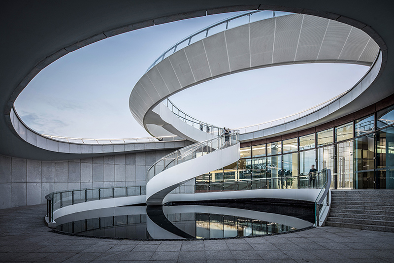
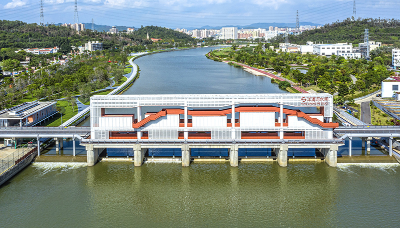
TJAD, relying on the talent network group, has gathered a number of teams in planning, landscape, architecture, municipal administration, bridge and etc. to work together to provide integrated and comprehensive services for the project. Through river regulation, ecological and water system security resilience can be built to solve the problems of ecological restoration and flood storage; through urban spatial governance, industrial and economic development resilience can be built to enhance the intervention of government, community and local industries. It not only realizes the original intention of "returning the river to the people", but also is an important strategy to activate urban human resources and improve urban identifiability.


 loading......